By State
🌴 Florida⭐ Texas🎷 Louisiana🌊 Mississippi🏖️ Alabama🍑 Georgia🌴 S. Carolina🏔️ N. Carolina🦅 Virginia🦀 Maryland🗽 New Jersey🌆 New York🦞 Massachusetts
Explore
🛡️ Shutter Types🧮 Guides & Calculator🆘 After the Storm✅ Verify a ContractorFree Estimate →💰 Insurance Savings📋 Find an Installer🌀 Storm Alerts
Are My Hurricane Shutters Up to Code?
Shutter Compliance Guide · 2026

Are My Hurricane Shutters Up to Code? How to Check — and What to Do If They're Not

You have hurricane shutters. But are they actually code-compliant? Old shutters, shutters installed without permits, or shutters that were compliant under old codes but not the current ones can give you a false sense of security — and cost you at insurance renewal time or when you try to sell your home.

⚠️ Tales of Caution

When the Official Map Was Wrong

Drawn from FEMA flood map revision records, state insurance department data, and documented homeowner experiences in federal disaster records.

Horry County, South Carolina — The Map That Was 22 Years Old

James bought his Myrtle Beach area home in 2018. His lender checked the FEMA flood map — Zone X, no flood insurance required. He didn't buy it. After a tropical system caused flooding in 2021, a FEMA representative explained that the map had last been updated in 1999 — 22 years earlier. Development upstream had changed drainage patterns significantly. His home flooded before the revised map was issued. His loss: $67,000. Entirely uninsured.

"I checked the official government map. It said I was fine. The map was just wrong for current conditions."

What this means for your home: FEMA flood maps are often significantly out of date. Check riskfactor.com for a current climate-adjusted assessment alongside your official zone. Consider flood insurance regardless of zone if you are in a coastal county.

Harris County, Texas — The Elevation Certificate That Saved $1,400 Per Year

Susan's Houston-area home was in Zone AE. Her flood insurance premium was $3,200 per year. Her agent suggested an Elevation Certificate. A licensed surveyor found her lowest floor was 2.3 feet above Base Flood Elevation. Her insurer re-rated the policy. New annual premium: $1,780. She saved $1,420 per year. The survey cost $450 — recouped in four months. "I had been overpaying for eight years. Nobody told me I could do this."

What this means for your home: If you're in Zone AE paying high flood insurance premiums, an Elevation Certificate is almost always worth ordering. Cost: $300–$600. Ask your flood insurance agent whether an EC would reduce your rate.

Sources: FEMA flood map revision records; FEMA Risk Rating 2.0 documentation; Harris County Flood Control District records.

What your flood zone actually means

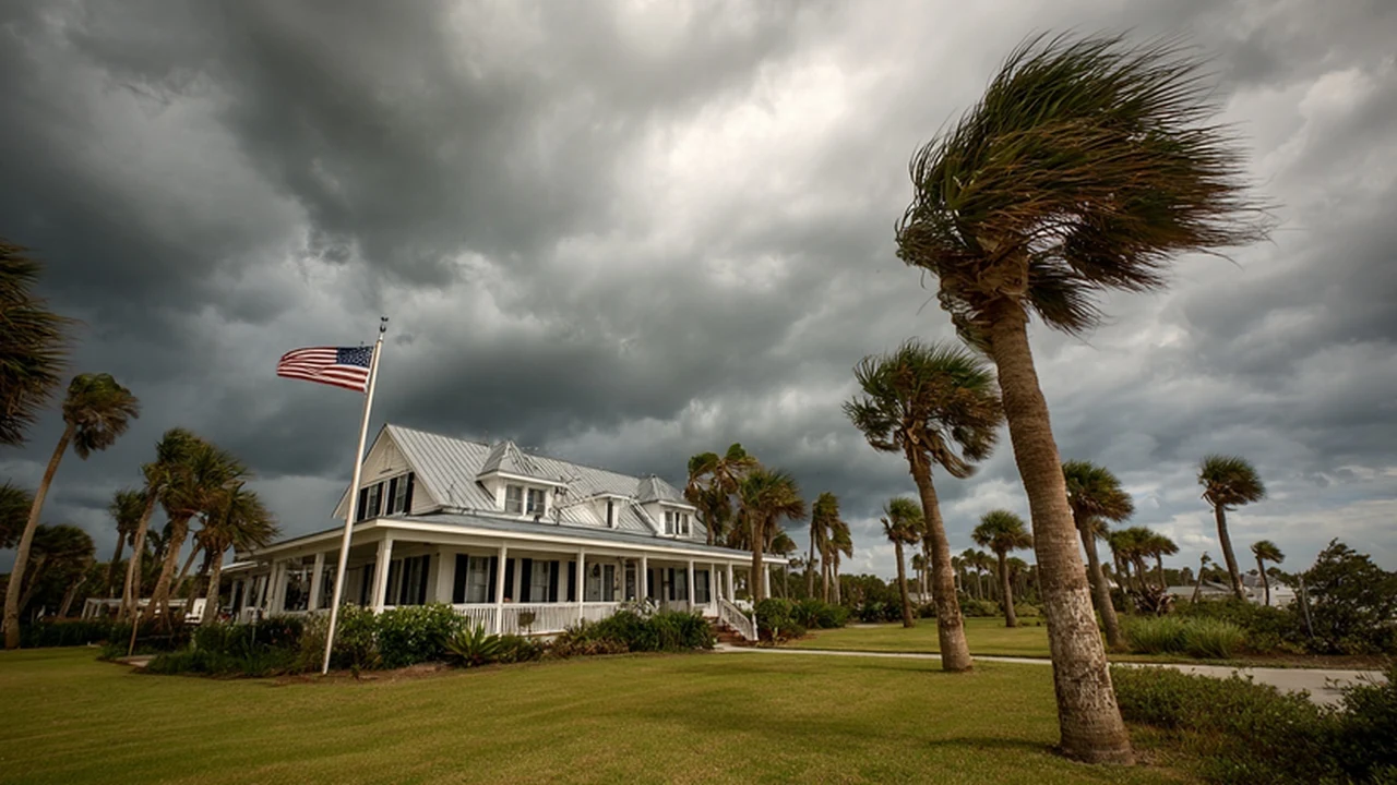
Your FEMA flood zone determines whether flood insurance is required, how much it costs, and what your real hurricane flood risk is. Most homeowners have never looked it up — and many are working from maps 10–30 years out of date.

Zone Designations

FEMA Flood Zone Designations — Complete Guide

Zone VE — Coastal High Hazard Area

Highest risk. Wave action plus flooding. Common on oceanfront and barrier island properties. Flood insurance mandatory with any federally-backed mortgage. This zone fills first and deepest in a hurricane.

Zone AE — High Risk Flood Area

1% annual chance of flooding. Most common high-risk zone. Flood insurance mandatory with federal mortgages. Storm surge from major hurricanes commonly reaches AE zones throughout the Gulf and Atlantic coasts.

Zone AO / AH — Moderate to High Risk

Shallow flooding 1–3 feet. Flood insurance required with federal mortgages. Both zones flood in major storms.

Zone X (Shaded) — Moderate Risk

0.2% annual chance flood. Not federally required but available at significantly lower cost. Major hurricanes regularly produce surge that reaches Zone X coastal properties.

Zone X (Unshaded) — Minimal Risk

Outside the 500-year flood plain. Lowest statistical risk. Flood insurance available at minimal cost — still recommended for any coastal county property.

Insurance Costs

What Flood Insurance Costs by Zone — 2026

  • Zone VE: $2,000–$6,000+ per year for $250,000 building coverage.
  • Zone AE: $800–$3,500/year. Properties 2+ feet above BFE pay dramatically less.
  • Zone AO/AH: $500–$2,000/year.
  • Zone X (Shaded): $400–$900/year.
  • Zone X (Unshaded): $300–$600/year.

Find your zone at msc.fema.gov. Check current risk at riskfactor.com.

Elevation Certificates

The Elevation Certificate — Could Save You Thousands Per Year

A document completed by a licensed surveyor showing your property's elevation relative to Base Flood Elevation. Used by flood insurers to rate your policy accurately.

  • 2 feet above BFE → premium can be 40–60% lower than at BFE
  • At or below BFE → paying highest rate — you may not know it
  • Cost: $300–$600 — often pays for itself in year one
  • Check if your lender or prior owner already has one on file
FAQ

Frequently Asked Questions

Can my flood zone change?

Yes. Development, drainage changes, sea level rise, and updated modeling can all change your designation. If your zone changes to high-risk, your lender will typically require flood insurance within 45 days.

Not in a high-risk zone — do I still need flood insurance?

For any coastal county, yes. Approximately 25% of all NFIP claims come from properties outside high-risk zones. Storm surge does not follow map boundaries.

What is Base Flood Elevation?

The elevation FEMA calculates that floodwater will reach in a 1% annual chance flood event. Structures built above BFE pay lower flood insurance premiums and face lower risk in most storm events.

☣️ Public Health Warning — After Any Hurricane

Waste bags at the curb spread E. coli, Leptospirosis, and Norovirus across entire neighborhoods through rainwater runoff, animal vectors, and children near debris piles. Double-bag all waste. Label it BIOHAZARD. Keep all children and pets away from every curb pile on your street — not just your own.

Full disease prevention guide — all 13 states →